Map illustration and digital mapping
Who doesn't love a beautiful map to spark the imagination? We love maps, we love making maps.
We produce all kinds of map for brochures or digital interactive use, from accurate maps for recreation and adventure to interpretive and artistic landscape maps that excite the imagination.
No matter the kind of map you need there is always an opportunity to put your mark on it such as colour and style so you can offer an experience that is on-brand for your business.
Ultimately maps are a form of communication, and are usually an essential part of the experience of your customer or partner. This warrants the care and attention that we bring to creating maps and the role they play in the broader experience you are offering.
Get in touch with an outline of your requirements and we will provide a free, no obligation quote.
Digital and interactive maps
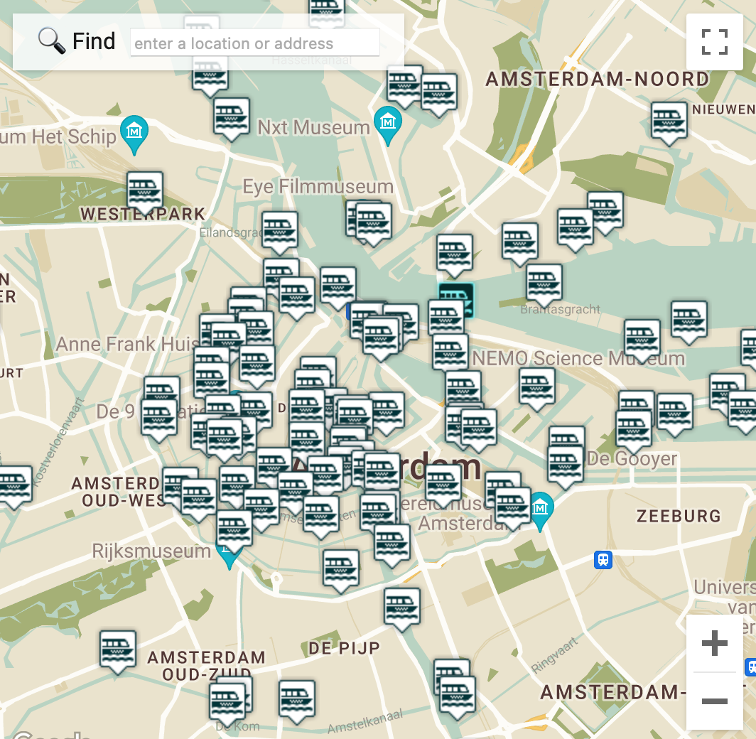
We work with Google Maps API, Open Street Maps and MapTiler, giving you access to a range of comprehensive web services. We also undertake bespoke web integration with Google Maps for mobile and web apps.
Mud maps to topographic
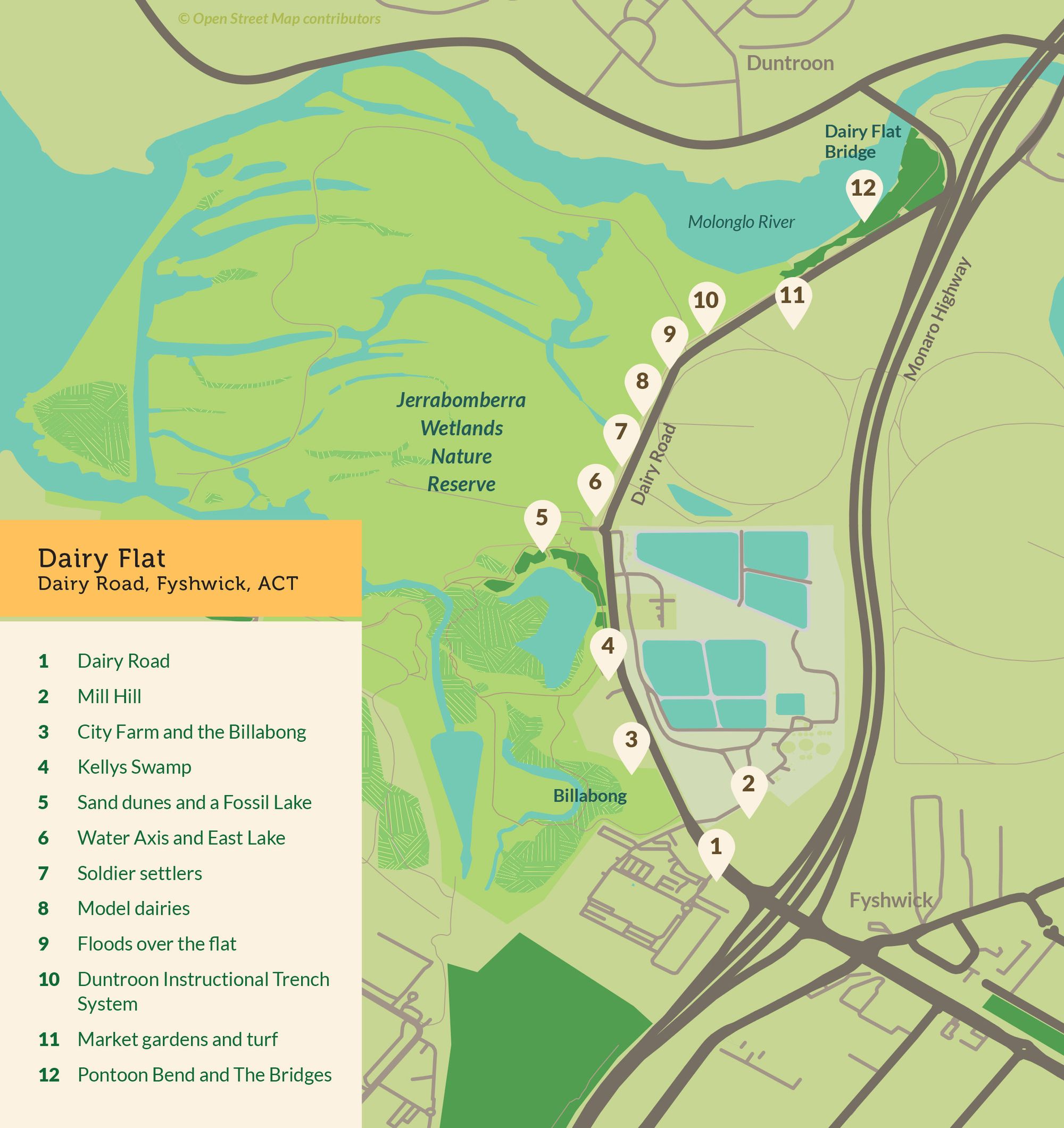
We can create maps to suit your budget and application. The magic is in creating a map that is fit for purpose, and in-keeping with your business identity and brand. We usually work with QGIS software to prepare GIS data from Open Street Maps, but have access to a range of mapping services to get the detail you need.
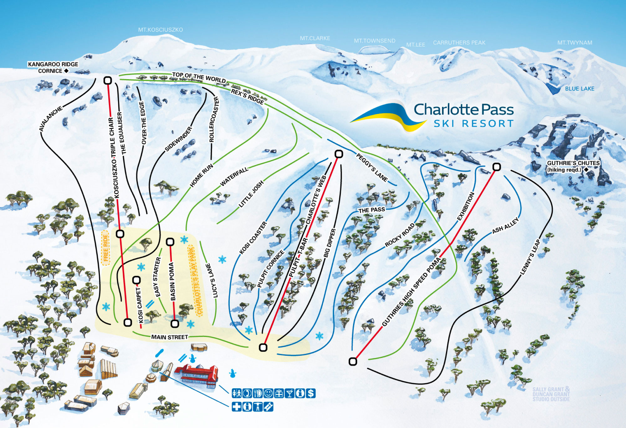
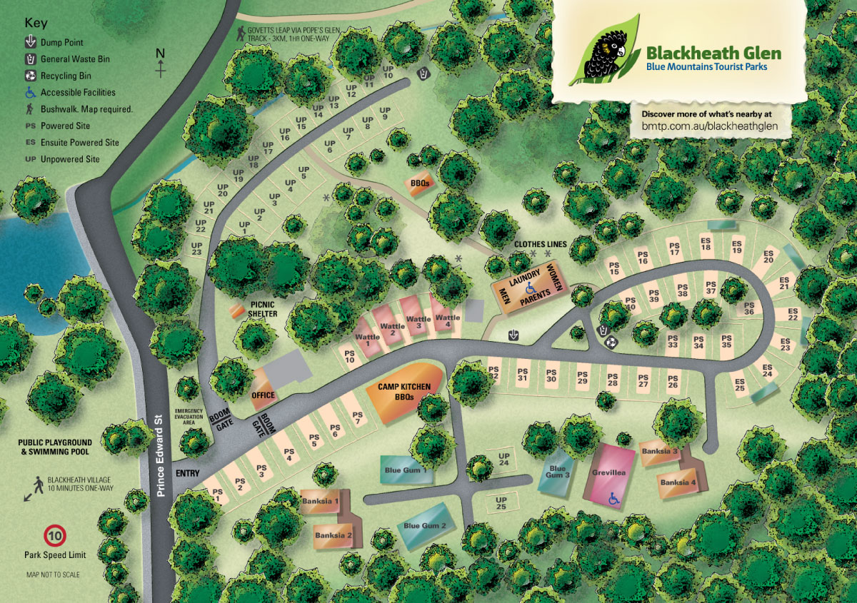
Illustrated 3D landscape maps
Our landscape maps are painted by hand. This produces the beautiful appearance and gives us ultimate control over colour and detail. Maps can have accurate topology or be interpretive, according to your needs.
We'd love to hear about your map project, get in touch »
Examples of our illustrated maps, showing a range of applications and budgets


